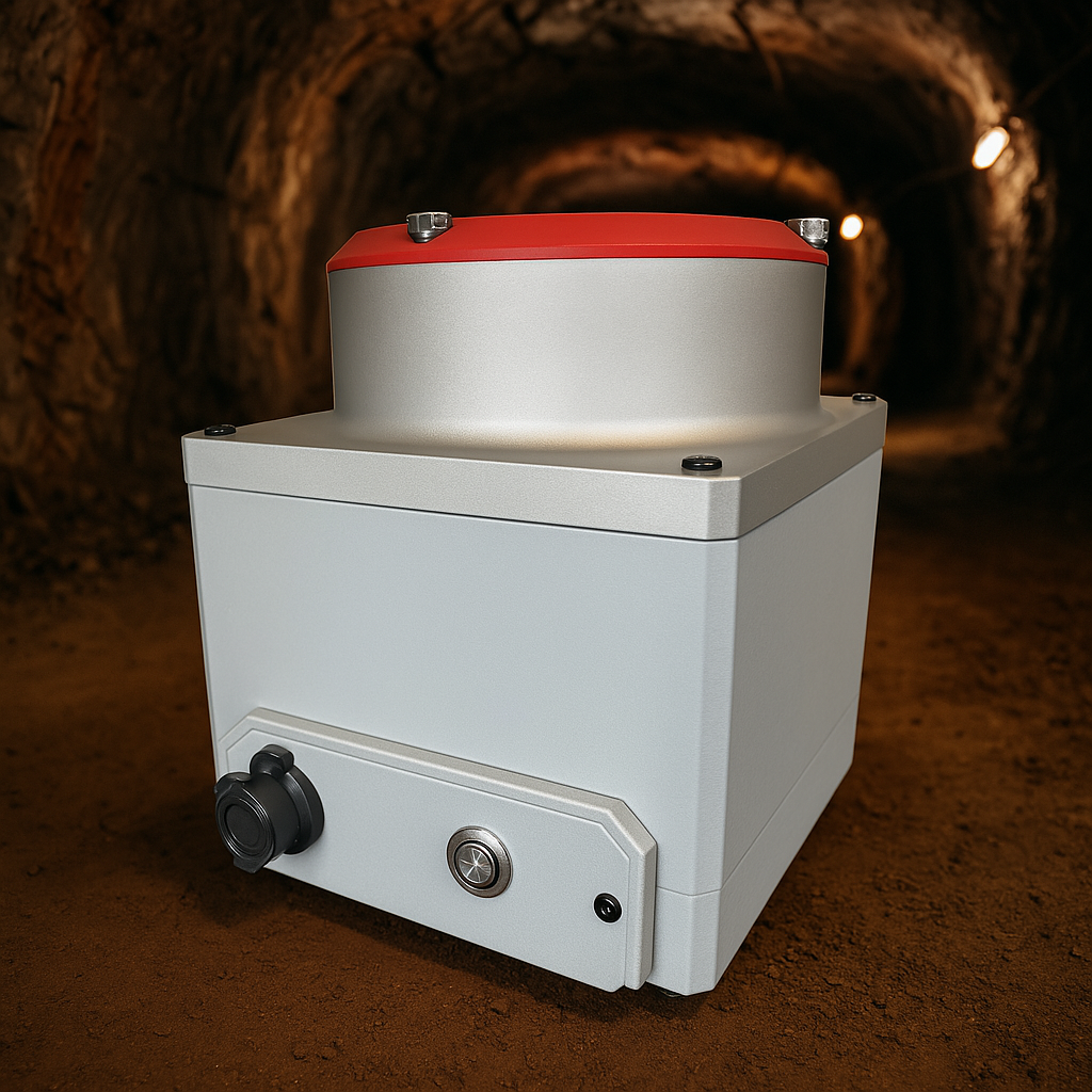
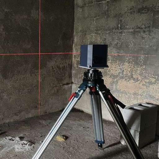
Gyrocompassing: Navigating the Unnavigable

Reliable navigation in GPS-denied environments

When traditional navigation systems fail in underground environments, gyrocompassing technology continues to provide accurate heading information, making it an essential tool for operations in caves, tunnels, and other challenging locations.

Explore NovaCompass Contact Us
Gyrocompassing Technology

Understanding Gyrocompassing

Gyrocompassing is an advanced navigation method that uses sophisticated gyroscopic sensors to determine true north without relying on external magnetic fields or satellite signals. Unlike traditional magnetometers, which can be disrupted by nearby metal structures or magnetic anomalies, and GPS devices, which fail in obstructed environments, gyrocompassing remains reliable even where other methods cannot function.

The technology operates based on the principle of inertia and Earth's rotation. Gyroscopes within the system detect the Earth's rotation and continuously adjust, providing stable directional information even in the most challenging environments.

Key Applications

  • Cave exploration and mapping
  • Underground conflict zone navigation
  • Mining operations and tunnel alignment
  • Subsurface infrastructure inspection

Why It Works Where Others Fail

  • No reliance on magnetic fields, which can be distorted by metal structures
  • Independent of GPS signals, which cannot penetrate underground
  • Self-contained system with Earth's rotation as reference
  • Continuous operation without need for external updates

How Gyrocompassing Works

The Earth's Rotation

Gyrocompassing leverages the Earth's rotation to determine true north. As the Earth rotates at approximately 15 degrees per hour, a gyroscope fixed to the Earth will detect this rotation. By measuring the direction of the Earth's rotational axis, the system can determine the true north direction with high precision.

MEMS Technology

Modern gyrocompasses utilize Micro-Electro-Mechanical Systems (MEMS) technology, which enables the creation of miniaturized, highly sensitive gyroscopes. These devices can detect even the subtle rotational effects of the Earth, making them ideal for portable navigation systems in challenging environments.

The Math Behind Gyrocompassing

Gyrocompassing works by measuring the horizontal component of Earth's rotation rate. At the equator, the Earth's rotation is perpendicular to gravity, while at the poles, it's parallel. By using multiple gyroscopes oriented in different directions, the system can measure these components and calculate the direction of true north.

This process, known as "north-finding," typically requires a stationary period where the device can take readings and perform calculations. The accuracy of a gyrocompass is affected by factors like latitude (with reduced performance near the equator), the quality of the gyroscopes, and the duration of the stationary period.

Our Gyrocompassing Solutions

The NovaCompass

The NovaCompass

Our flagship MEMS gyrocompassing platform designed for precision alignment in mining and drilling operations. It combines advanced dead-reckoning technology with drift-free azimuth capabilities to deliver exceptional accuracy even in challenging environments.

Key Features:

  • Accurate true north finding in GPS-denied environments
  • Robust design for harsh mining conditions
  • High precision azimuth measurements
Learn More
The Explorer

The Explorer

Our specialized navigation system designed for finding headings in GPS-denied environments like caves and underground conflict zones. The Explorer provides reliable navigation data where traditional methods fail.

Key Features:

  • Compact and portable design
  • Extended battery life for long operations
  • Rugged construction for challenging environments
Learn More

Ready to Navigate Where Others Can't?

Our gyrocompassing solutions provide reliable navigation in the most challenging environments. Contact us today to learn how we can support your operations.

Contact Us